Partnering for Humanitarian Good Mapathon - OpenStreetMap GeoWeek 2016 Main Event
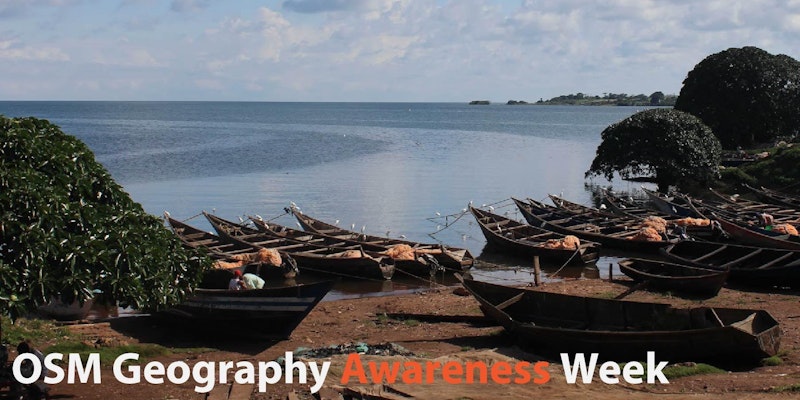
We invite you to join us from 5pm to 9pm on Wednesday, November 16 at the OpenGovHub (location) to help map unmapped areas around Africa’s Lake Victoria and improve our ability to combat HIV/AIDS. Via lightning talks, short presentations, and a mapathon, you will learn about and contribute to mapping areas around the world to assist ongoing humanitarian, development, and public health efforts, alongside other communities participating globally in OSM Geography Awareness Week 2016.
OSM GeoWeek calls on teachers, students, community groups, governments, private sector, map lovers, and motivated individuals (including those with no previous mapping experience!) to come together to celebrate geography and make maps with OpenStreetMap, the free and openly editable map of the world.
Hear inspiring examples from in and outside US federal government of how mapping has helped humanitarian and developments work - from combatting AIDS to preparing for and responding to earthquakes and other disasters - and join the movement as we collaborate together/work in teams to create new data to be used by partners worldwide to support humanitarian and development work. Many organizations are partnering for this OSM GeoWeek 2016 Keynote Event, including the Humanitarian OpenStreetMap Team, Missing Maps, the U.S. Department of State (MapGive), USAID (YouthMappers), the Peace Corps, National Geographic, and the World Bank’s GFDRR. And this event is being sponsored by the OpenGov Hub.
Join the conversation at #osmgeoweek and we look forward to mapping with you on the 16th!
PROGRAM
Featured product: PEPFAR Mapping Project Presentation, Paul Zeitz, Director of the Data Revolution for Sustainable Development
The U.S. President’s Emergency Plan for AIDS Relief (PEPFAR) will introduce mapping tasks in Kenya, Uganda, and Tanzania, which border Lake Victoria. The spatial data that you generate will improve our understanding of HIV/AIDS program coverage, the optimization of supply-chain logistics, and the analysis of clinical site-level data in locations until now unmapped.